Philadelphia subway: map, schedule, fares and every station
The Broad Street Line and the Market–Frankford Line, plus the Norristown High Speed Line out to the counties — 70 stations, $2.90 a ride, and every time read from the published schedule data
Service status
Philadelphia Metro status
Service status
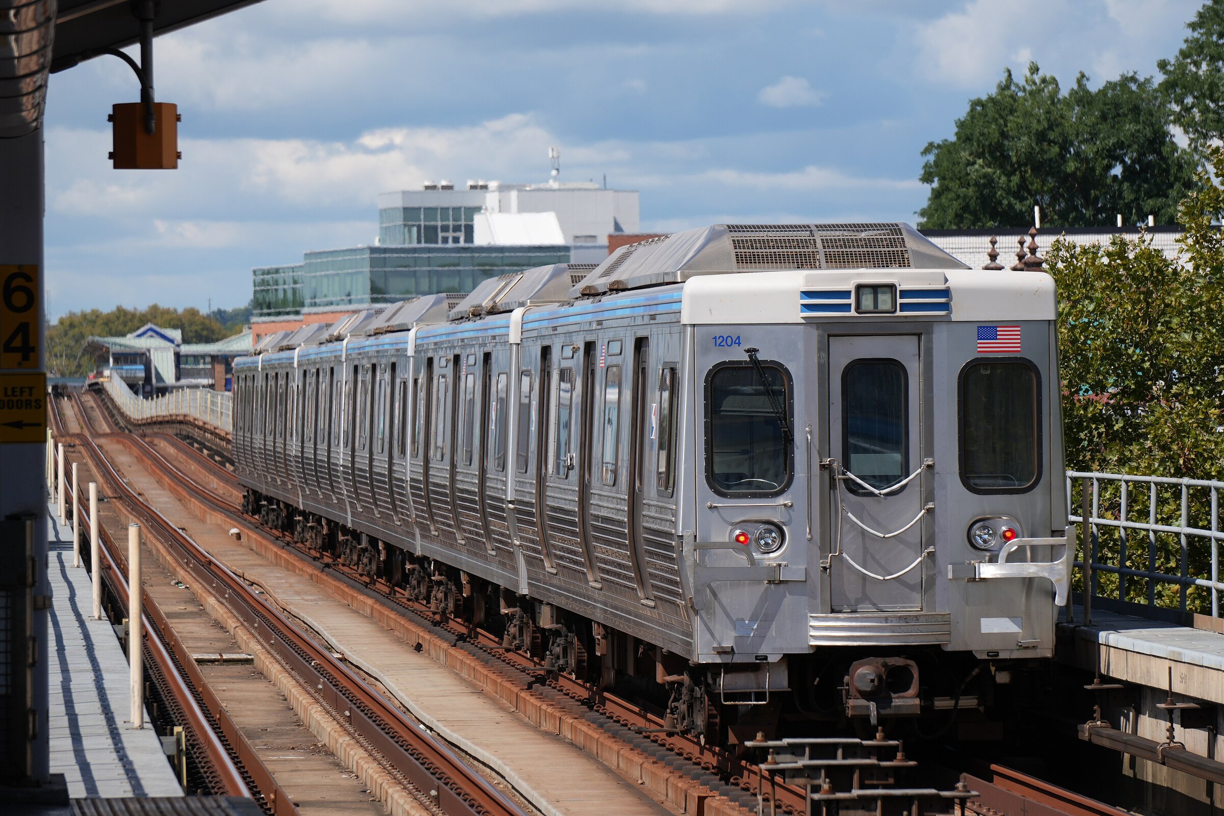
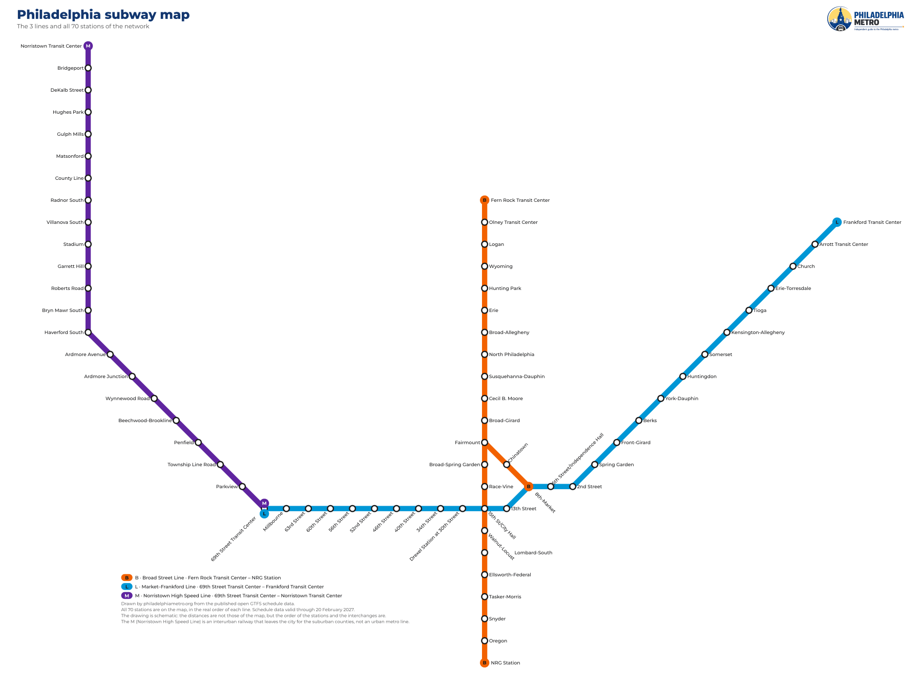
Broad Street Line · Fern Rock Transit Center – NRG Station
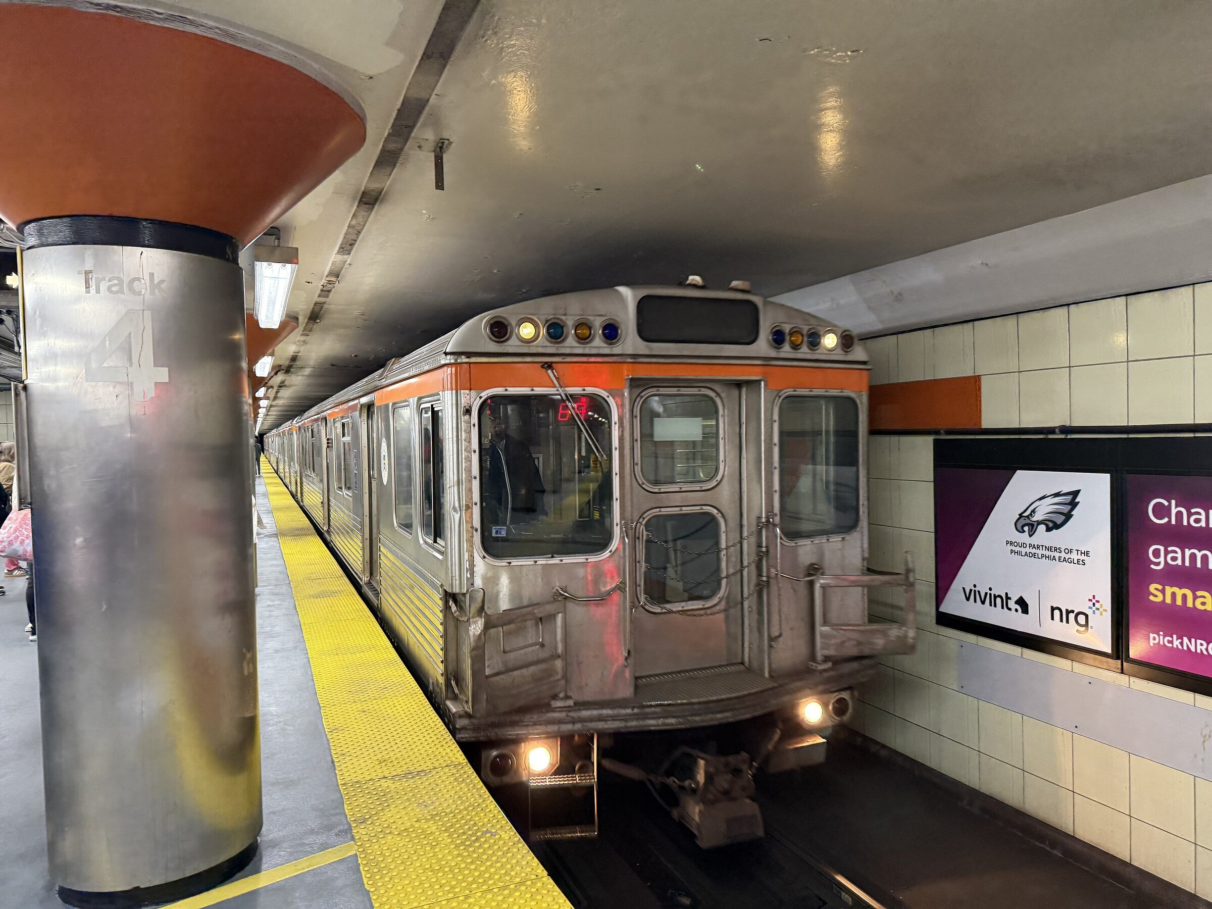
Market–Frankford Line · 69th Street Transit Center – Frankford Transit Center
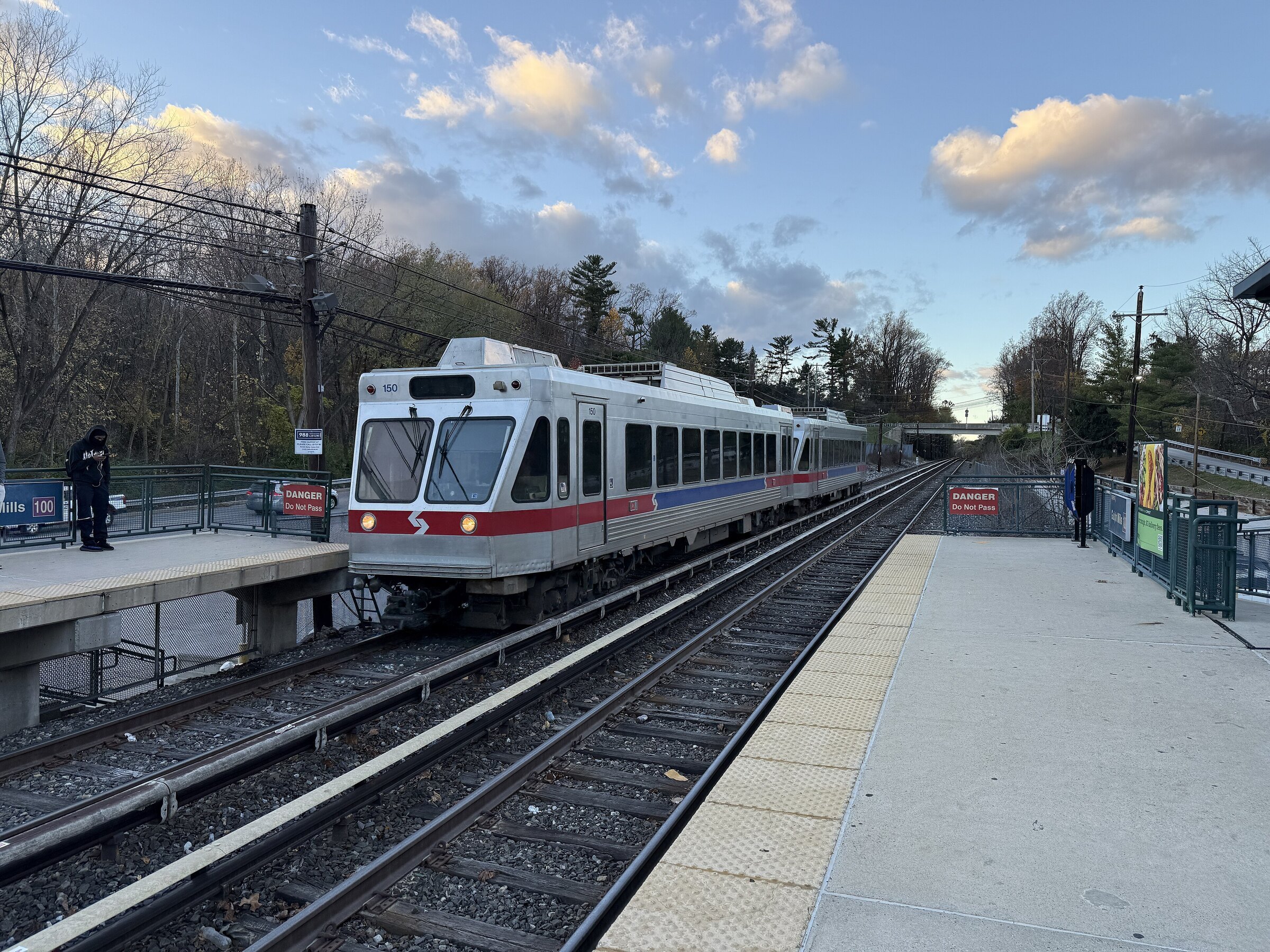
Norristown High Speed Line · 69th Street Transit Center – Norristown Transit Center
What are you looking for?
Six pages cover almost every question people arrive with.
The three lines
Two of them run across and up Philadelphia; the third leaves the city altogether. The colours are the ones the schedule data gives each line.
The subway map
Schematic: north is up and the distances are not to scale. The map page has the big version and the legend.
The subway map as a PDF
Vector, so it stays sharp at any size and prints clean on A3. About 103 KB.
Getting around: how long the usual trips take
From the running times in the schedule data, station to station, on one train.
| Trip | Line and pattern | Riding time | Stops | What it is for |
|---|---|---|---|---|
| 15th St/City Hall → Drexel Station at 30th Street | L all stops | 2 min | 1 | Into West Philadelphia and the main rail station |
| 15th St/City Hall → 5th Street/Independence Hall | L all stops | 3 min | 3 | Centre to the historic district |
| 15th St/City Hall → Frankford Transit Center | L all stops | 26 min | 16 | The length of the L to the north-east |
| 69th Street Transit Center → 15th St/City Hall | L all stops | 15 min | 10 | From the western terminal into the centre |
| 15th St/City Hall → NRG Station | B Local | 14 min | 7 | Centre to the south end of the B |
| Fern Rock Transit Center → 15th St/City Hall | B Local | 26 min | 14 | All stops down the B from the north |
| Fern Rock Transit Center → 15th St/City Hall | B Express | 18 min | 6 | The same trip on the express |
| Fern Rock Transit Center → 8th-Market | B Broad-Ridge Spur | 19 min | 7 | Down the B and off along the Ridge Avenue spur |
| 69th Street Transit Center → Norristown Transit Center | M all stops | 28 min | 21 | The whole interurban line, out of the city |
One fare, four ways to pay
$2.90 a ride, and two of the four ways to pay give you two hours of free transfers.
A ride anywhere on the network costs $2.90, and it is the same $2.90 on all four ways to pay. Distance makes no difference: two stops and the full length of a line are the same price.
Where the four differ is transfers. 2 of them carry up to 2 free transfers within 120 minutes; the other two do not carry transfer credit at all. That is the single most expensive thing to get wrong about paying here, so it has its own page: ways to pay, with what each one is good for. The rules and what the fare data leaves out are on the fares page.
Three things about this network that nobody tells you
They come out of the schedule data, and they change which train you take.
Frequently asked questions
Three rapid-transit lines: the Broad Street Line, the Market–Frankford Line and the Norristown High Speed Line, with 70 stations between them and about 36.92 mi (59.41 km) of track. The schedule data lists five routes, but three of those are patterns of the same line: local, express and the Ridge Avenue spur all belong to the B.
Somewhere on the network there is a train from 4:06 am until 2:16 am. The two city lines keep the same hours every day of the week — the B from 4:40 am to 12:15 am and the L from 4:36 am to 12:11 am — and only the frequency changes. The M is the one that varies by day. Line by line and direction by direction, it is all on the schedule page.
Three: 15th St/City Hall between the B and the L, 8th-Market between the Ridge Avenue spur and the L, and 69th Street Transit Center between the L and the M. In all three the two lines use different platforms, so a change means walking — and the data does not publish how long that walk takes, so you will not find a figure for it here.
Partly, and the gap is wide: 42 of the 70 stations are declared step-free, 23 are not — about a third of the network — and 5 are declared step-free on some platforms only, which takes the share you cannot rely on to 40%. The accessibility page lists all 70, and describes the inside of the six complexes the data covers.
No. The three lines on this site do not serve the airport; the airport is on the regional rail network, which is a different mode and not covered here. What the metro does connect with, where the platforms are close enough to count, is listed on each station page.
Because the Norristown High Speed Line is not an urban metro line: it is a segregated interurban railway running 13.4 mi (21.56 km) out through Delaware and Montgomery County, with 22 stations and a midday train every 30 min. It is on this site because it is part of the same rapid-transit network — but if you are expecting a subway, that line will surprise you.